The subsurface conditions in Saint-Jerome shift noticeably between the sandy terraces near the Rivière du Nord and the mixed glacial deposits found toward the higher ground of the Bellefeuille district. A shallow excavation in one neighborhood might hit compact till within a meter, while a site a kilometer west encounters saturated silts that complicate foundation drainage. These contrasts make site-specific geophysical data essential before designing footings or planning dewatering systems. Electrical resistivity surveys, specifically Vertical Electrical Sounding (VES), map these variations by injecting current into the ground and measuring how the soil resists it. The resulting profile distinguishes clay lenses from sand pockets and identifies the depth to bedrock without opening a single test pit, saving time when access is tight or the water table is high.
A VES sounding in Saint-Jerome can detect the clay-silt interface at 12 meters before any excavation begins, reducing drilling uncertainty in Champlain Sea deposits.
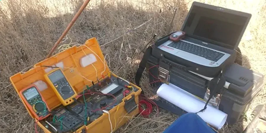
Process and scope
Site-specific factors
Saint-Jerome's urban expansion since the 1970s has pushed development onto former agricultural plots where drainage was historically managed by open ditches rather than subsurface collectors. Infill material in these areas often contains heterogeneous debris — brick fragments, organic silt lenses, and occasional boulders — that create erratic resistivity signatures. Relying solely on a sparse drilling program in such settings risks missing a conductive clay seam that could concentrate groundwater flow against a basement wall. A resistivity survey acts as a continuous cross-section between boreholes, flagging zones below 10 ohm-m that typically indicate saline pore water or sensitive marine clay prone to remolding under load. Ignoring these low-resistivity anomalies can lead to differential settlement long after construction is complete.
Reference standards
ASTM D6431-18: Standard Guide for Using the Direct Current Resistivity Method for Subsurface Site Characterization, CSA A23.3 (Annex G): Geophysical methods for concrete and soil evaluation, NBCC 2020: National Building Code of Canada — geotechnical site investigation requirements
Other technical services
1D Vertical Electrical Sounding (VES)
Single-point depth profiling to map layer thicknesses and identify the bedrock surface. Ideal for preliminary foundation studies on lots smaller than half an acre.
2D Electrical Resistivity Tomography (ERT)
Multi-electrode profiles along a line, producing a continuous cross-section of resistivity. Used for pipeline routing where lateral changes in soil type must be detected.
Groundwater & Plume Mapping
Delineation of contaminant plumes through resistivity contrasts; leachate or saline intrusion typically drops formation resistivity below 15 ohm-m.
Time-Lapse Resistivity Monitoring
Repeated ERT surveys on the same grid to track fluid movement during injection grouting or dewatering operations.
Typical parameters
Frequently asked questions
What does a VES survey in Saint-Jerome typically cost?
Budget between CA$940 and CA$1.580 for a single VES sounding with a Schlumberger array up to 150 m AB/2 spacing, including the data inversion report. Projects requiring multiple soundings or 2D ERT lines are quoted by the linear meter, adjusted for terrain access along the Rivière du Nord corridor.
How deep can electrical resistivity soundings reach in the Saint-Jerome area?
Practical investigation depth depends on electrode spread. With our maximum AB/2 of 150 meters, we reliably image resistivity contrasts down to roughly 50 meters in the sandy-gravelly outwash common north of Highway 158, provided sufficient current injection is maintained.
Does frozen ground or snow cover affect the resistivity readings?
Yes; frozen near-surface layers introduce high contact resistance that can degrade data quality. In Saint-Jerome we schedule VES fieldwork between April and November whenever possible. If a winter survey is unavoidable, we pre-soak electrode positions with saline solution and use stainless steel stakes to improve coupling.