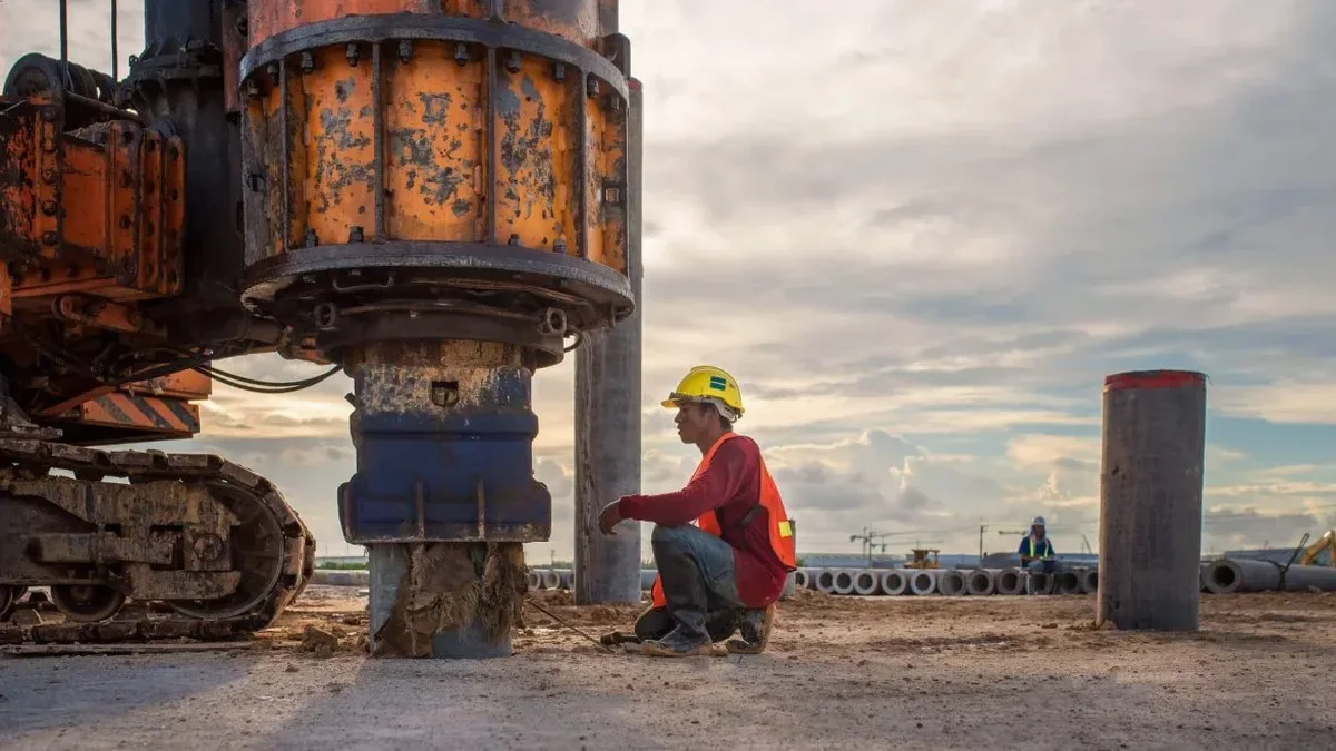
A three-storey commercial project near the Rue St-Georges corridor hit an unexpected snag: the Geotek drilling crew pulled up 8 meters of soft, silty clay that had everyone at the design table rethinking the foundation. The structural engineer needed more than a standard SPT profile. Saint-Jerome sits on the Quaternary deposits of the Riviere du Nord, where the contrast between compact till on the terraces and the compressible alluvium in the valley bottom can shift within a single city block. That is where the MASW survey came in. We laid out a 46-meter geophone spread right across the property, running both active shots and passive monitoring to extract a reliable VS30 value. The result was a site class D profile that allowed the team to justify a raft foundation with targeted ground improvement rather than deep piles. Integrating the shear wave data with a CPT test confirmed the stiffness transition, and a follow-up liquefaction screening ruled out flow failure risk under the design earthquake — a combination that saved the client serious budget.
In Saint-Jerome's glacial lake deposits, a MASW-derived VS30 of 200 m/s versus a code-default 150 m/s can change the seismic site class from E to D, directly reducing the design base shear by 20 percent or more.
Process and scope
Site-specific factors
The crew deploys a 24-channel Geometrics Geode seismograph with 4.5 Hz vertical geophones spaced at 2 meters — a configuration we have found gives reliable dispersion curves down to 30 meters across Saint-Jerome's silty-clay profiles. The biggest risk we see is not the equipment but the site preparation: a half-meter of frost in March, heavy truck traffic compacting the upper crust, or buried utilities generating scattered noise can all degrade the dispersion image to the point where the inversion becomes non-unique. We schedule Saint-Jerome surveys between April and November whenever possible, and we always run a passive roadside recording when active shots alone do not resolve the low-frequency end. The passive array uses microtremor energy from Highway 117 traffic to extend the dispersion curve below 8 Hz. Without that step, a VS30 estimate can be off by 30 percent — and that error flows straight into the seismic design forces, potentially under-designing the lateral system or over-engineering the foundation and wasting concrete. Checking the raw shot gathers in the field before packing up has saved several Saint-Jerome projects from a costly re-mobilization.
Watch the video
Reference standards
NBCC 2020 — National Building Code of Canada, Seismic Hazard and Site Classification provisions, ASTM D7400 — Standard Test Methods for Downhole Seismic Testing (adapted for surface wave methods), CSA A23.3 — Design of Concrete Structures (seismic provisions referencing site class)
Other technical services
VS30 Site Classification Package
One or two MASW lines with active and passive recording to determine the NBCC site class. Delivered as a stamped report with dispersion curves, 1D Vs profiles, and a formal site class letter suitable for building permit submission in Saint-Jerome.
2D Shear Wave Velocity Cross-Section
Multiple parallel MASW lines gridded across the building footprint, processed into a fence diagram or 2D Vs section. Used when the site straddles a geologic boundary — common near the Riviere du Nord escarpment — where a single VS30 value would misrepresent half the foundation zone.
Combined Seismic Survey (MASW + Refraction)
Simultaneous acquisition of surface waves and p-wave refraction using the same geophone spread. Provides both Vs and Vp models for calculating Poisson's ratio, identifying saturated zones, and mapping bedrock topography beneath Saint-Jerome's glacial overburden.
Typical parameters
Frequently asked questions
How much does a MASW survey cost for a typical lot in Saint-Jerome?
For a single-family or small commercial lot in Saint-Jerome, a MASW survey with one or two lines and a VS30 classification report typically runs between CA$2,160 and CA$4,400, depending on access, line length, and whether passive recording is needed to reach 30 meters. Larger multi-line surveys for subdivisions or industrial buildings are quoted per linear meter after a site visit.
Do I need a MASW survey if I already have borehole data on my Saint-Jerome property?
Borehole logs give you blow counts and material descriptions but do not directly measure shear wave velocity unless downhole or crosshole testing is performed. The NBCC allows VS30 estimation from SPT N-values using correlations, but these carry significant uncertainty in Saint-Jerome's interbedded silts and clays. A MASW survey provides a direct, continuous Vs measurement that often results in a more favorable — and defensible — site class than correlation-based estimates.
What is the difference between active and passive MASW, and which one applies to my Saint-Jerome site?
Active MASW uses a sledgehammer or weight-drop source and typically resolves the upper 15 to 20 meters well. Passive MASW records ambient noise and microtremors — in Saint-Jerome, traffic on Highway 117 and Autoroute 15 provides excellent low-frequency energy — and extends the depth of investigation to 30 meters or more. Most of our Saint-Jerome surveys combine both to satisfy the NBCC requirement for a full 30-meter VS30 determination.
How long does a MASW survey take, and when will I get the report?
Field work for one or two MASW lines in Saint-Jerome is usually completed in half a day, assuming reasonable access and weather. We process the data and deliver a preliminary VS30 value within 48 hours, with the full stamped report — including dispersion curves, 1D profiles, and the NBCC site class letter — ready within five business days. Rush processing is available for tight permit deadlines.