With a population exceeding 70,000, Saint-Jerome sits at the gateway to the Laurentian Mountains, where Riviere du Nord carves a valley through marine clay and glacial till. Every excavation here, from the new judicial district buildings to hillside residential cuts, contends with water-bearing overburden and abrupt bedrock depth changes. At our team, we blend local geological insight with NBCC-driven monitoring protocols, deploying inclinometers, piezometers, and crack gauges early in a project so that design assumptions don't become site emergencies. Having tracked lateral displacements on Autoroute 15 expansion trenches and basement digs through sensitive Champlain Sea deposits, we understand that a geotechnical excavation monitoring plan in the Laurentides must anticipate freeze-thaw cycles and spring melt pressures. Before shoring goes in, it's useful to correlate monitoring targets with CPT test logs that map the clay-silt transition and reveal drainage behavior around the cut.
In Saint-Jerome's Champlain Sea clays, real-time monitoring turns observational method theory into daily site decisions that protect adjacent structures and worker safety.
Process and scope
Site-specific factors
Saint-Jerome's geotechnical risk profile is shaped by the Champlain Sea clay plains and the steepening slopes toward the Laurentian foothills. This marine clay, deposited roughly 10,000 years ago, is prone to strain softening: once its peak strength is exceeded, resistance drops sharply, and deformations can accelerate without warning. Deep excavations near the Riviere du Nord add hydraulic gradients that complicate base stability, especially during spring when groundwater recharge peaks. Without continuous geotechnical excavation monitoring, a site team cannot see the early signs of a progressive failure developing behind a shoring wall. The interaction between vibration from urban traffic on Rue Saint-Georges, dewatering-induced settlement, and seasonal frost action creates a deformation pattern that standard visual inspections simply cannot capture. Instrumentation data becomes the legal and technical record, protecting the owner and the design team if neighboring property claims arise later.
Reference standards
NBCC 2015 (National Building Code of Canada) – Part 4, structural and geotechnical provisions, CSA A23.3 – Design of concrete structures with reference to excavation support, ASTM D6230 – Standard Practice for Monitoring Well Installation with Inclinometers and Piezometers
Other technical services
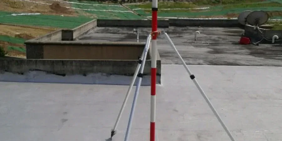
Automated real-time monitoring
Total stations with wireless data loggers track 3D displacement of shoring walls and neighboring buildings. Alerts are sent by SMS and email when pre-defined deformation rates are exceeded, allowing the site superintendent to pause work and inspect before damage escalates.
Manual instrumentation and survey control
Inclinometer profiling, standpipe and vibrating wire piezometer readings, and precise optical leveling of settlement points. This dual approach, combining manual verification with automated data, meets CSA and NBCC requirements for observational method documentation.
Typical parameters
Frequently asked questions
What factors determine the instrumentation layout for a Saint-Jerome excavation?
The layout depends on excavation depth, proximity to neighboring buildings, and the geotechnical profile. In Saint-Jerome, where Champlain Sea clay is common, we typically place inclinometers behind shoring at spacings of 10 to 15 meters, with piezometers staged at the excavation base and within the zone of influence. The Riviere du Nord's proximity and seasonal groundwater fluctuation are also factored in to ensure the monitoring array captures the full hydraulic response.
How do freeze-thaw cycles affect monitoring instruments in the Laurentides?
Frost penetration can reach 1.5 to 1.8 meters in Saint-Jerome, so surface monuments and shallow piezometers must be installed below the frost line or protected with insulated casings. Automated total stations are mounted on deep concrete piers isolated from frost heave. We also use temperature-compensated crack gauges and take baseline readings after the ground has fully thawed in spring to avoid misinterpreting thermal movement as structural deformation.
What is the typical cost range for excavation monitoring in Saint-Jerome?
For a standard urban excavation in Saint-Jerome, the monitoring scope, including installation, instrumentation, and monthly data reporting, typically falls between CA$1,010 and CA$3,390, depending on the number of instruments, duration, and reporting frequency. A detailed quotation is provided after reviewing the shoring design and the site-specific geotechnical report.
How is monitoring data reported and interpreted during active excavation?
We provide weekly data summaries with trend plots comparing measured deformation against alert and alarm thresholds. When automated systems are in place, the engineer of record receives daily summaries. Each report includes interpretation of the displacement vectors, pore pressure evolution, and any correlation with construction activities such as dewatering or tieback stressing, allowing the design team to confirm or adjust the observational method approach in near real time.
At what depth does NBCC require instrumentation for an excavation in sensitive clay?
The NBCC does not prescribe a single trigger depth; it requires a geotechnical engineer to assess the risk classification of the excavation. In Saint-Jerome's sensitive Champlain Sea clay, any cut deeper than 3 to 4 meters near an existing structure or public right-of-way generally warrants a monitoring plan with inclinometers and settlement points, as the strain-softening behavior of the clay demands early detection of movement.